 |
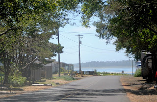
| Bay view from Bayocean Dike Road past the gate. If you look really hard you can see the historic smokestack located in Garibaldi. Clicking on the photo makes it larger. |
I've written about Bayocean before and the role that the north jetty at Barview played in its demise. Well this last weekend, on a "nice" sunny, HOT day we took a trip out there--to this lovely spot located between bay and ocean
After getting on the wrong road and ending up in Netarts, we put my phone's navigation software and GPS to work and found the somewhat elusive Bayocean Road. Yippee! (If you are gaining elevation, you are NOT on the right road. We saw no signs pointing us the right direction.)
 |
| Memaloose Point area |
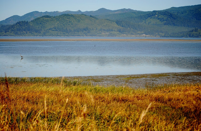
The bay was beautiful--despite the fact that it was not, as usual, the "golden" hour...
oh well you can't have everything, right? :)
the natives were also lovely and added to our enjoyment of the approximately 5 mile drive out to the peninsula. One small segment even reminded me of the Hood Canal of Washington state and its small homes along the water!
The dike road (Bayocean Dike Road) was a piece of cake...as usual I fretted over NOTHING imagining a road with steep drop-offs into the lake and bay from a very narrow dike. That's what you get when you have the wrong perspective on something:)
With furry white one in tow we headed out -- at first -- on road that runs along the bay, but hubby quickly decided we should reroute to the beach. A visit to the townsite's original location would have to wait for now...sigh (bay pic at the top of this post is from this area).
Returning to the parking lot, we found the sandy trail and headed westward...
 |
| Looking southward from the trail |
The scenery on the way was lovely! Scotchbroom (some which still had a few blooms on it), trees, grasses---loved it! But what wasn't so lovely was the sand on the trail was blazing HOT (and I do mean BLAZING)...sheer agony as I couldn't walk barefoot and the sand kept working its way under the soles of my feet because I had worn, not knowing, flip flops. OUCH, agony, pain.
But we persevered, extremely thankful for the grass at the sides of the trail and all shady spots. Talking to a couple fellow trekkers we gained hope that the trip was well worth it and then...
one last hill to climb and we would be there.
Yippee!
Much cooler sand on the beach. Ahhhh. Lovely on the footsies!
Beautiful view towards the Cape Meares area
(the community and headland)
Some buildings from Bayocean were moved to the town there...
Beautiful views to the north too
(Barview area, jetties and more)
The ocean (west of course)--always lovely
Eastward view towards the dunes and center of the spit. .
Was Aimee happy and was it worth it?
Oh YES...despite getting a friction blister. At least I no longer have the splinter, I had picked up earlier in the week, thanks to DH "doctoring" before we left to Bayocean:)
And the hike that seemed to be SO long?
Well, per the measuring tool on the most wonderful Google maps...
yep, it was about 1/3 mile one way.
But now I have another problem.
I have to convince my wonderful hubby to make a return visit :)
Blessings,
Aimee
Links:
The Bayocean link above will take you to a prior post where I've listed some great websites on Bayocean and its fascinating, though sad, history.
Another excellent website I found recently is here:
(some of his posts have really given me a new perspective on Bayocean and its actual location)
Since this post was so photo heavy, I'll include some pictures of Cape Meares Lake at a different time. Heading south on Bayocean Dike Road it's to your right--
it was formed when they built the dike to reconnect the Bayocean spit which had, temporarily become an island in the 1950s due to winter storms and beach erosion caused by building (and later extension) of just the north jetty.
PDF map of Tillamook County -- will give you a perspective on where
the different locations mentioned are.
Once on the peninsula you can have quite the hike if you are up to it...


